Gate by Gate: Finding the Quiet Edge of Iron Acton Parish
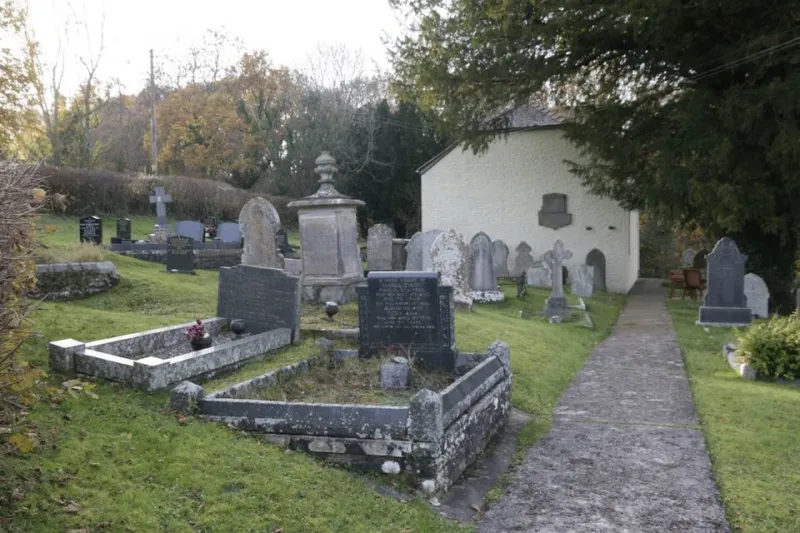
Photo: Bill Nicholls , CC BY-SA 2.0, via Wikimedia Commons
Most walks around Iron Acton aim for the middle. The church, the court, the pub if it is open, the bench that catches the afternoon sun. Fair enough. But there is a stranger and quietly more interesting walk to be had by aiming for the edges instead — the places where the village stops being the village and becomes, depending on your view, either “just fields” or “somewhere else entirely”.
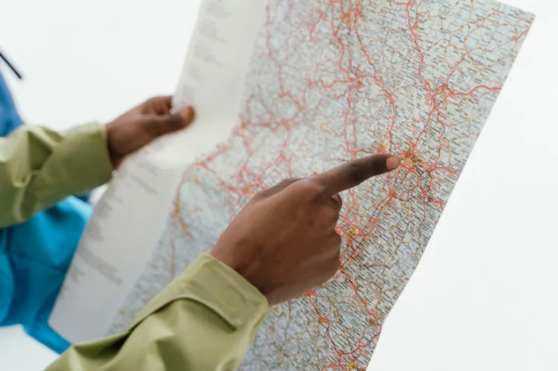
This is not a single official trail. It is a loose circuit of lanes, gates, field edges and short footpath sections that lets you trace the parish boundary on foot. Treat the route notes as a sketch rather than a satnav instruction. Take the OS Explorer 167 map, wear something that can handle mud, and be prepared to double back when a gate turns out to be tied shut or a hedge has ideas above its station.
Start where the village feels most like itself
Begin at St James Church, by the lychgate. It is a sensible anchor: old, central, and close enough to the lane that you can pretend you are simply popping out for a stroll. Head north-west along the lane, away from the village centre, and watch how quickly the houses loosen their grip. Gardens become hedges. Hedges become field boundaries. The pavement gives up.
Within ten minutes you are walking the kind of lane that needs no name on a map to feel familiar: high banks, a strip of grass down the middle, and the occasional gate set back as if it has been there since the Tudors. Some of these gates are practical. Some are decorative. A few are clearly the result of a farmer having a spare five-bar and a free afternoon.
The hedge that behaves like a wall
On the northern side of the parish, the boundary is often little more than a hedge — but a hedge with a job. It separates one parish’s responsibilities from another’s. On one side, the verge may be cut by one council; on the other, by someone else entirely. The difference is rarely dramatic. It is a matter of grass length, a drain, a sign. But once you start noticing, the edge becomes oddly visible.
Look for the small tells. A change in hedge species. A ditch that appears from nowhere. A line of older oaks that looks suspiciously like an old boundary marker. Parish edges were not drawn for walkers, but they often followed features that walkers still use: streams, hedgerows, tracks and the occasional stubborn stone.
Where the stream does the paperwork
Drop down towards the water. There is a brook on the southern side that does the boundary’s admin without any fuss, sliding under a lane and carrying on as if nothing matters. Stand on the bridge and you are, roughly speaking, at the edge. A few steps one way and you are still in Iron Acton. A few steps the other and you are somebody else’s problem — or, more accurately, somebody else’s parish.
This is the bit of the walk to slow down. Not because the view is spectacular, but because the boundary is. It is a reminder that villages are not just clusters of houses. They are areas with edges, and those edges have consequences: which footpaths get maintained, which verges get cut, who gets consulted on planning applications, and where the parish council’s patch ends.
The lane marker nobody reads
Somewhere along the eastern lane, there is a marker or two that most drivers pass without seeing. Walkers have more time. A parish boundary stone, a faded sign, a gatepost with initials cut into it — these are the unglamorous furniture of local government. They are also little pieces of history. Iron Acton’s boundaries have shifted and settled over centuries, shaped by land ownership, farming, roads and the slow business of administering a place.
You do not need to know every historical detail to enjoy this. It is enough to notice that the edge is not a line on a screen. It is a hedge you can touch, a stream you can hear, a gate you can open, and a lane that changes character depending on which side you are standing.
Why the edge matters in 2026
There is a temptation to treat parish boundaries as paperwork — a thing for councillors, not for walkers with a thermos. But boundaries still matter in 2026, and not in a “drawbridge up” sort of way. They matter because they decide who looks after the things we all use. A broken stile, a blocked drain, a footpath that needs a new sign: the right person to tell often depends on where the edge falls.
They matter for village identity, too. Iron Acton is not just a postcode. It is a place with a centre, a history, and a rim. The rim is where the village meets Yate, Frampton Cotterell, Latteridge and the surrounding farmland. Walking it is a good way to remember that the village is part of a wider landscape, not a island.
And, frankly, edges are interesting. They are where you find the oddities: the gate that opens into nothing, the footpath that seems to change its mind, the hedge that is straighter than it has any right to be. Boundaries are not barricades. They are seams. Good walks follow seams.
Practical bits
- Distance: roughly 4–5 miles if you follow the lanes and field edges without too much doubling back. Allow two hours at a gentle pace.
- Terrain: mud, uneven tarmac, field gates and possibly livestock. Not a pushchair route.
- Map: OS Explorer 167 is the sensible companion. A phone map is fine until the signal drops, which it will.
- Respect: close gates, keep dogs under control near livestock, and do not assume every hedge gap is a right of way. Some are just gaps.
- Finish: back at the church, or at whichever bench you passed and wished you had stopped at on the way out.
The best boundary walks do not end with a triumphant arrival. They end with a slightly adjusted mental map. You come back into the village centre knowing where the edges are, and why they are there. That is a good afternoon’s work for a pair of boots.