Dry Hollows and Mossy Kerbs: A Pond-Hunter’s Walk Through Iron Acton
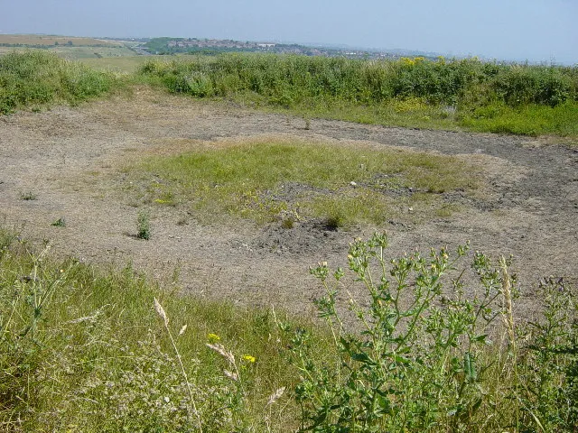
Photo: Janine Forbes, CC BY-SA 2.0, via Wikimedia Commons
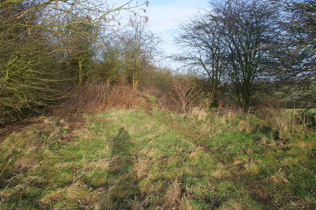
Water leaves a village slowly. A pond silts up, a well gets a concrete lid, a sheep dip fills with leaves, and within a generation the only person who remembers it is someone’s grandad. Iron Acton is full of these quiet disappearances. In 2026, the village is still shaped by water it no longer shows. You can walk the lanes and see nothing but grass and hedges, then look again and notice a hollow that holds the damp longer than the field around it, or a stone kerb that makes no sense until you realise it was once the edge of something.
This is not a hunt for a single lost pond. It is a way of reading the village with your feet. The route below is short, mostly flat and best done on a dry-ish day after a cold snap, when the vegetation has died back and the ground is soft enough to show old shapes without being a swamp.
Begin with the paper trail
Before you put your boots on, spend half an hour with maps. The tithe maps and apportionments from the 19th century, the first Ordnance Survey sheets from the 1880s and later editions are the best starting points. You are looking for field names such as Pond Close, Well Leaze, Dip Ground or Spring Field. Those names are not proof on their own — names get copied, misunderstood and invented — but they are a nudge.
Compare the old maps with the modern ones. A small blue blob on an 1880s map that has become a blank patch beside a lane is exactly the sort of thing worth a look. South Gloucestershire’s local studies library and the online map collections are useful for this. You do not need to be an archivist. You just need to notice what has gone.
A short loop with wet feet
Start at the village hall and walk towards St James Church. Use the church as a landmark rather than the destination — this is not another churchyard wander. From the church, take the lane that leads out towards the Acton Court side of the village, then pick up any public footpath that runs along the field edge. The exact line matters less than the pauses. A loose loop of about a mile and a half, returning via the High Street and the B4058, gives you enough lanes, verges and gateways to read.
Keep to public rights of way and open access land. Do not cut through private gardens or farmyards, even if the map suggests a tempting shortcut. The point is to look, not to trespass.
Five clues that give the game away
-
A hollow that stays damp. Look for a shallow bowl in a field corner or beside a lane, especially one filled with rushes, sedges or tufted grass. A pond that has silted up often leaves exactly this: a wet centre, a slightly raised lip and a change in the grass.
-
Mossy stone or brick kerbs. Village ponds were sometimes edged with stone, brick or timber. A low, moss-covered kerb running in a curve beside a verge is worth a second look, particularly if it does not follow the line of the modern road.
-
Culverts and iron grilles. Where water once flowed in or out, you may find a stone-lined channel, a pipe head or a rusty grille. Do not lift covers or poke about in drains. Just note the position and take a photo.
-
Willow, alder and damp-loving plants. A single old willow in a hedge line, or a patch of alder in a dry field, can mark an old watercourse or a pond that has been filled. Plants are not definitive, but they are good company for a hunch.
-
Gateposts and worn stone. Sheep dips and watering places often sat near field gates. Look for stone troughs, worn steps, raised platforms or a gatepost that seems too substantial for its current job. These are the everyday bits of farm history that rarely make it onto a interpretation board.
Wells, dips and the working village
Before mains water, Iron Acton’s everyday life depended on wells, springs and ponds. Ponds watered livestock, provided fire water and sometimes served as marl pits for clay. Wells were dug close to houses and farms, then capped or covered as piped water arrived. Sheep dips became common in the 19th and 20th centuries, usually sited near a yard or field gate where sheep could be run through.
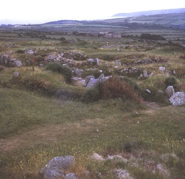
You will not find a neat trail of signs. What you will find are fragments: a stone lid in a verge, a raised rectangle of concrete, a damp hollow behind a hedge. Treat them as questions rather than answers. A capped well may still be a well. A dry hollow may have been a pond, a marl pit or simply a dip in the clay.
Ask before you assume
The best source is often a person. Village halls, parish council meetings and local history gatherings are good places to mention what you are looking for. Someone will remember a pond being filled in the 1960s, or a well that was covered when a house was extended. Do not cold-call at private doors. Ask in the ordinary way, at an event or through a local group, and be clear that you are researching rather than asking for access to land.
Local memory is powerful but slippery. Two people may remember the same pond in different places. That is not a reason to give up; it is a reason to check the map and look for the physical clues.
The right kit and the right manners
Wear boots you do not mind getting muddy. Take a phone or camera, a small notebook and a map. A hand lens is useful for moss and stone, but not essential. Avoid digging, metal detecting or moving stones. Do not lift well covers, drain lids or grilles. Keep dogs on leads around livestock and close every gate you open.
Late autumn and winter are the best seasons for this kind of looking, when nettles have died back and the ground is soft. Avoid fields with livestock and avoid trampling wet ground where birds may be feeding. If a path is genuinely blocked or boggy, turn back. The village will still be there next week.
What the hollows tell us
The lost waters of Iron Acton are not just holes in fields. They are a record of how the village worked: where animals drank, where houses got their water, where clay was dug and where surplus water was sent. Once you start noticing hollows, kerbs and damp corners, the lanes stop being a backdrop. They become a loose map of the village’s practical past.
Walk the loop slowly. Look back over your shoulder. A pond is easiest to see from the other side of the hedge, in the low light, when the ground is wet and the grass is short. And if you find nothing at all, that is useful too. A blank patch on the map is sometimes the most honest clue of all.